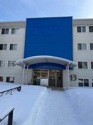
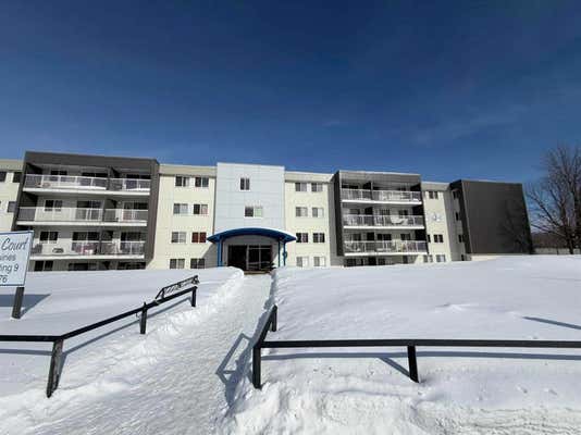
Natural hazards vary by location and can change over time. The following provides a summary of potential impacts to this area, Postal Code T9H 1R3, over the next 30 years.
Flood - Medium Risk - About 17% of buildings in this area have flood risk over the next 30 years.
Fire - Higher Risk - About 9 days in 2050 will have significant risk for fire spread, compared to 8 around 1990. Over 90% of buildings in this area have significant chance of wildfire.
Heat - Lower Risk - Around 1990, about 7 days per year reached above 28°C in this area. In 2050, about 24 days per year are projected to reach above 28°C.
Precipitation - Lower Risk - Around 1990, total annual rainfall was about 477mm, and about 40% of rain fell in downpours with over 11mm in 2 days in this area. The projection for 2050 is about 510mm of rain per year, with about 42% during these downpours.
Drought - Lower Risk - This location will likely have fewer dry months around 2050 than around 1990. The typical drought conditions will be less extreme around 2050.
Climate risk data is provided for informational purposes only. REMAX does not endorse nor guarantee this information. REMAX and its agents are not providing advice regarding climate risks. Consumers should independently investigate any property's climate risks as they deem appropriate.