- Home
- BC
- Campbell River
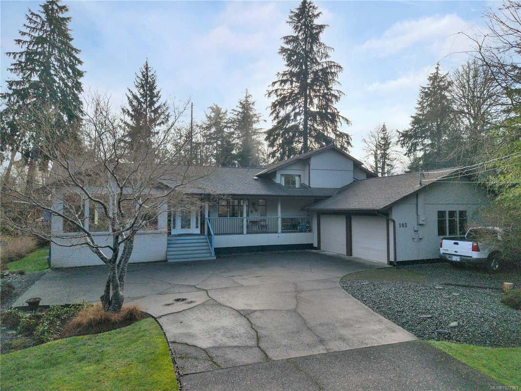
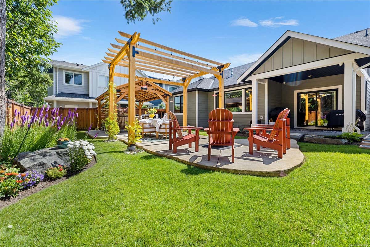
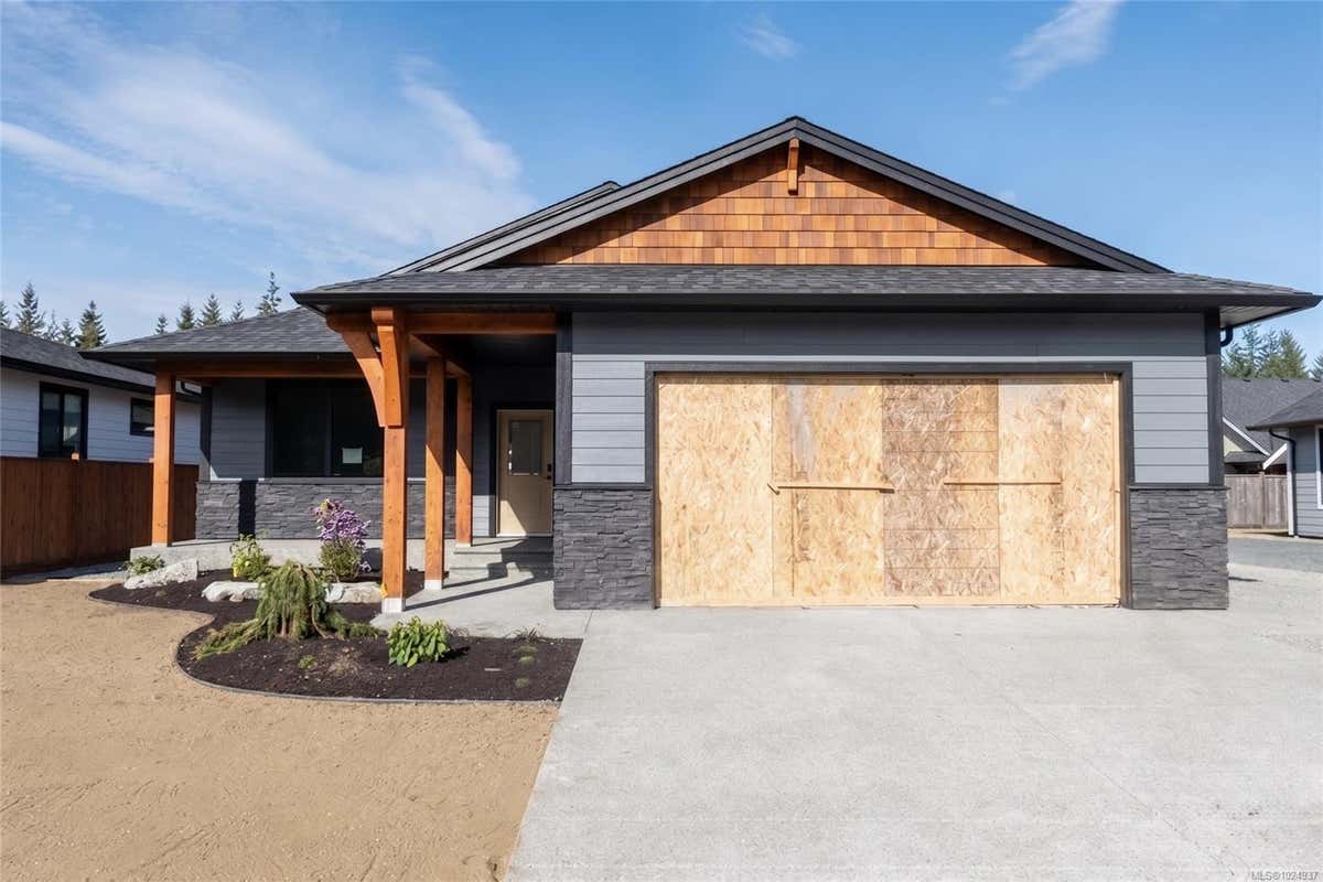
- 3910 ISLAND HWY S, CAMPBELL RIVER, BC V9H 1M1
3910 ISLAND HWY S, CAMPBELL RIVER, BC V9H 1M1
3
2
2,362 sq ft
Listed by Royal Lepage Advance Realty, Susan Mallinson
Status: Active
MLS® #1018737
Interested in this property?
We are here to help you in your home buying journey. Would you like us to send you more information about 3910 ISLAND HWY S, listed for $939,900?
Property description for 3910 Island HWY S, Campbell River, BC V9H 1M1
QUICK OVERVIEW
Built in 1985
$398 / Sq Ft
6 parking spaces
None
Baseboard, Natural Gas, Radiant Ceiling
196 Days on website
0.45 acres lot
INTERIOR
BUILDING AND CONSTRUCTION
EXTERIOR AND LOT
UTILITIES
AREA AND SCHOOLS
FINANCIAL INFO
ADDITIONAL INFO
Price per square foot and days on website are not provided values and are calculated by REMAX.
Listing Agent Susan Mallinson
Listing Office Royal Lepage Advance Realty, 250-286-3293
Updated Monday, May 18, 2026 at 3:50:34 AM
MLS® property information is provided under copyright© by the Vancouver Island Real Estate Board and Victoria Real Estate Board. The information is from sources deemed reliable, but should not be relied upon without independent verification. https://reciprocity.vireb.com/
NEIGHBOURHOOD
CLIMATE RISK FOR V9H 1M1
Mortgage Payments for 3910 Island HWY S, Campbell River, BC V9H 1M1
$4,267
Monthly
Comparable listings to
3910 Island HWY S, CAMPBELL RIVER, BC V9H 1M1
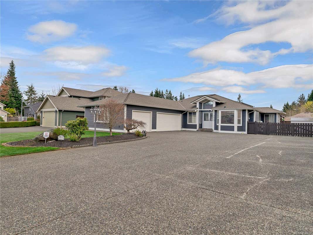
103 REDONDA WAYSTRATHCONA, BC V9H 1J4
4
3
2,683 SQ FT
Listing by Royal Lepage Advance Realty
MLS® #: 1027361
Virtual Tour
3413 WORTHING PLCAMPBELL RIVER, BC V9W 8G2
3
2
2,005 SQ FT
Listing by Remax Ocean Pacific (cr)
MLS® #: 1031210
Virtual Tour
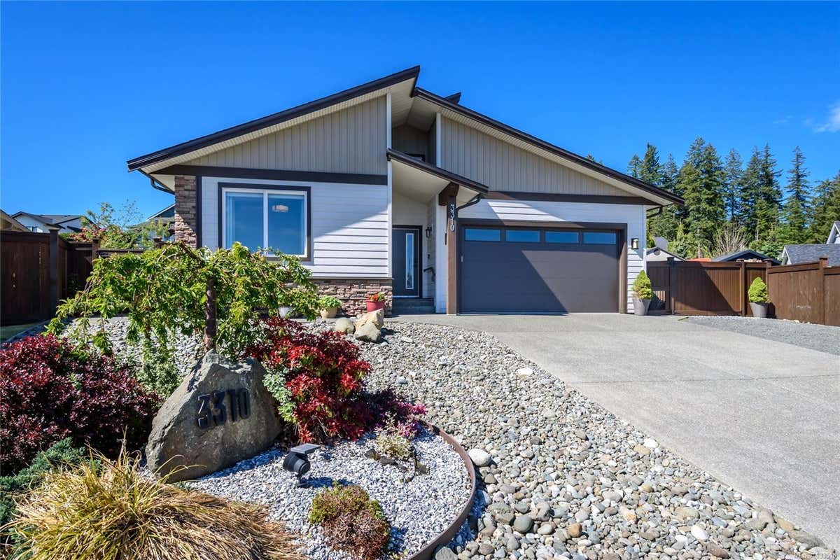
3310 TYLER PLCAMPBELL RIVER, BC V9H 0A9
3
2
1,745 SQ FT
Listing by Royal Lepage-comox Valley (cv)
MLS® #: 1033518
Virtual Tour
710 SALAL STCAMPBELL RIVER, BC V9H 0E6
3
2
1,567 SQ FT
Listing by Royal Lepage Advance Realty
MLS® #: 1033592
Virtual Tour
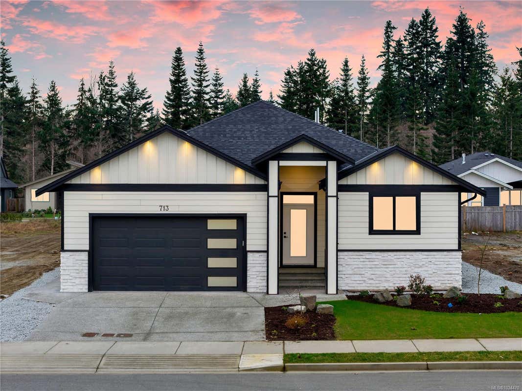
713 BEAVER CREEK BLVDCAMPBELL RIVER, BC V9W 0B6
3
2
1,713 SQ FT
Listing by Engel & Volkers Vancouver Island North (cr)
MLS® #: 1024470
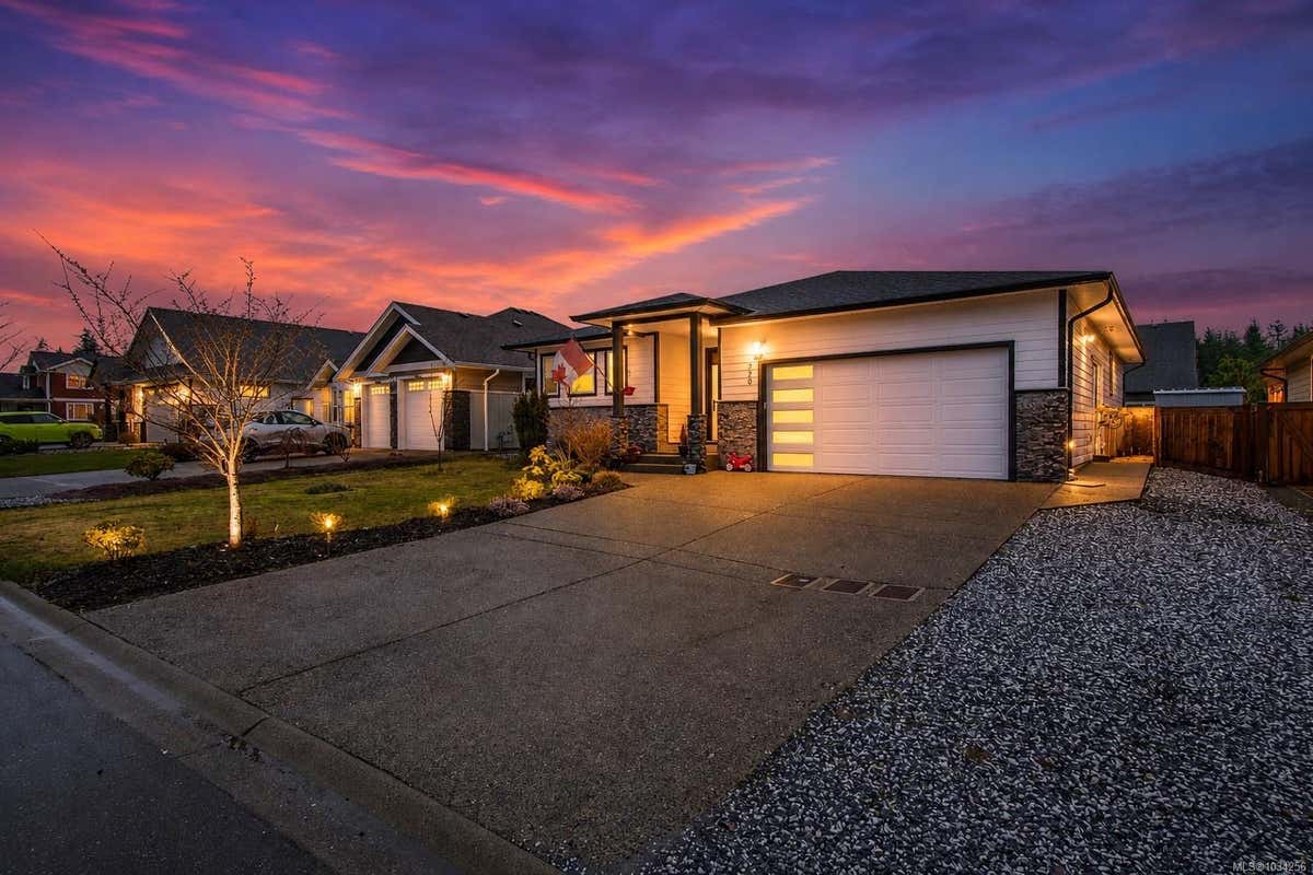
720 SITKA STCAMPBELL RIVER, BC V9H 0E5
3
2
1,754 SQ FT
Listing by Remax Ocean Pacific (cr)
MLS® #: 1034256
Virtual Tour
758 SITKA STCAMPBELL RIVER, BC V9H 0G4
3
2
2,056 SQ FT
Listing by Royal Lepage Advance Realty
MLS® #: 1033357
762 SITKA STCAMPBELL RIVER, BC V9H 0G4
3
2
1,729 SQ FT
Listing by Royal Lepage Advance Realty
MLS® #: 1024937
782 SALAL STCAMPBELL RIVER, BC V9H 0E7
4
3
1,909 SQ FT
Listing by Royal Lepage Advance Realty
MLS® #: 1034088

Get Real Estate Advice
Enter your email for REMAX's HomeHQ newsletter. Grab market updates, expert selling tips, and real estate advice.
By submitting your information, you are agreeing to the Privacy Notice and Terms of Use.
I agree to receive commercial electronic messages regarding news, updates, promotions, business opportunities and other related communications from RE/MAX*, its affiliates, and third parties designated by RE/MAX. I understand I may unsubscribe at any time.
*RE/MAX, LLC, 5075 S. Syracuse St., Denver CO, 80237 1-800-525-7452; REMAX Canada Inc., 639 Queen Street West, Toronto, ON M5V 2B7, 905-542-2400Voted the Most Trusted Agents in Real Estate*
FIND A REMAX AGENT