1041 8 Ave, Fernie, BC V0B 1M5
Speak to your neighborhood REMAX agent to get a free home value estimate.
Property description for 1041 8 Ave, Fernie, BC V0B 1M5
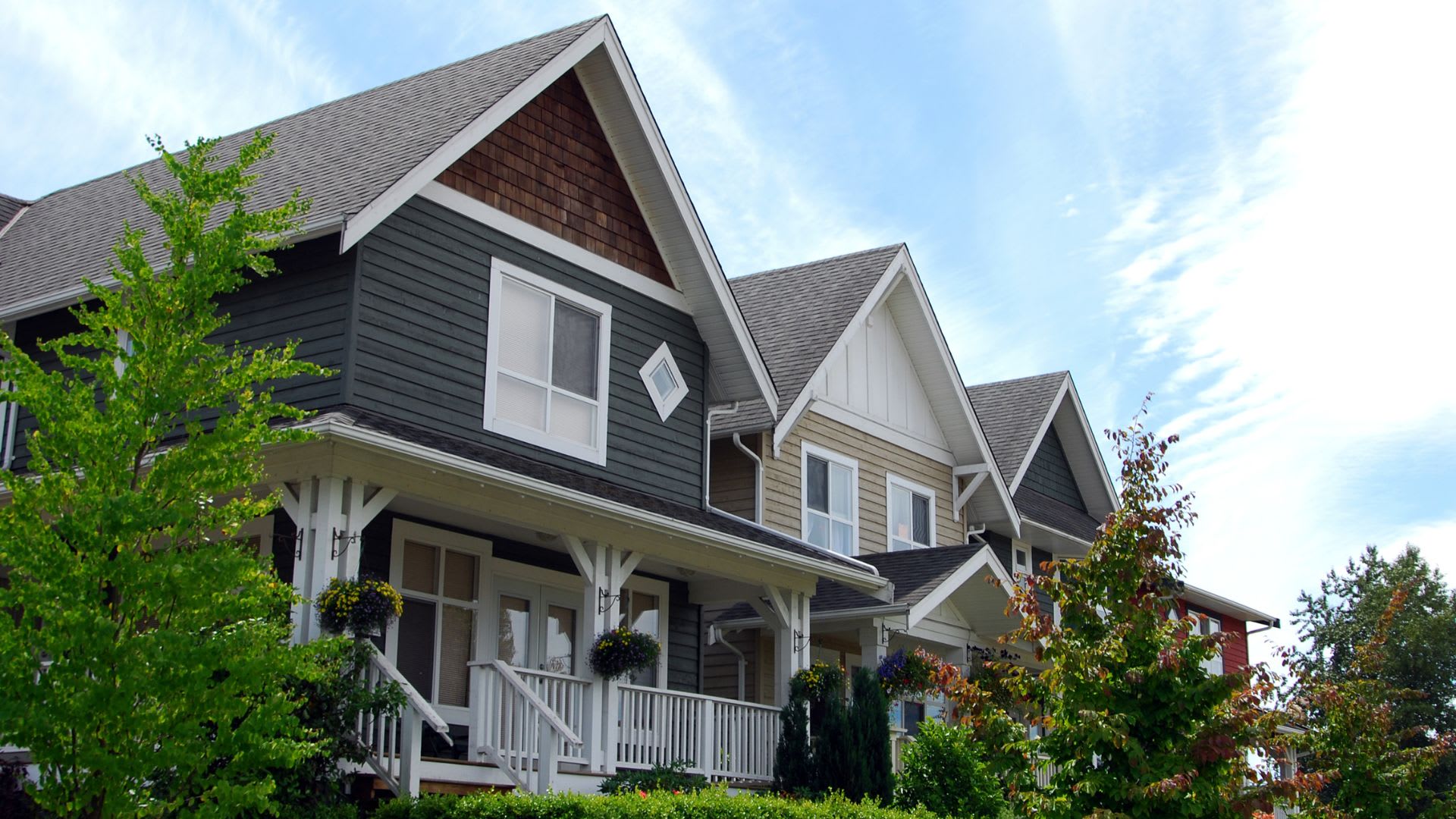
NEIGHBOURHOOD
CLIMATE RISK FOR V0B 1M5
Comparable listings to
1041 8 AVE, FERNIE, BC V0B 1M5
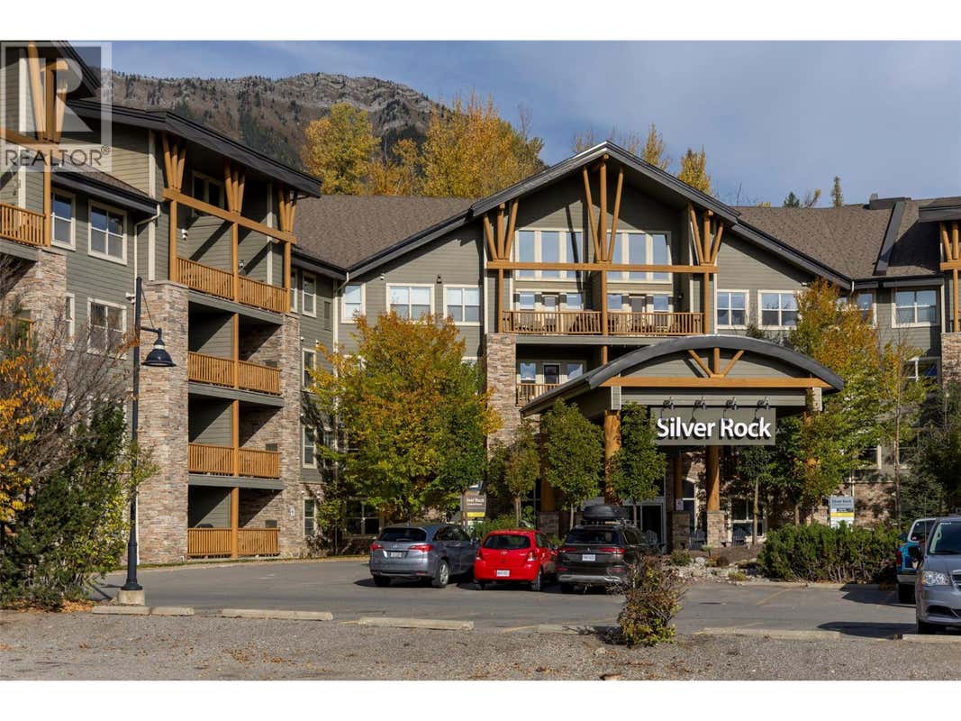
1500 MCDONALD AVENUE UNIT# 118FERNIE, BC V0B 1M1
1
1
400 SQ FT
Listing by Remax Elk Valley Realty - Jacqueline Fieldhouse
MLS® #: 10393078
Virtual Tour
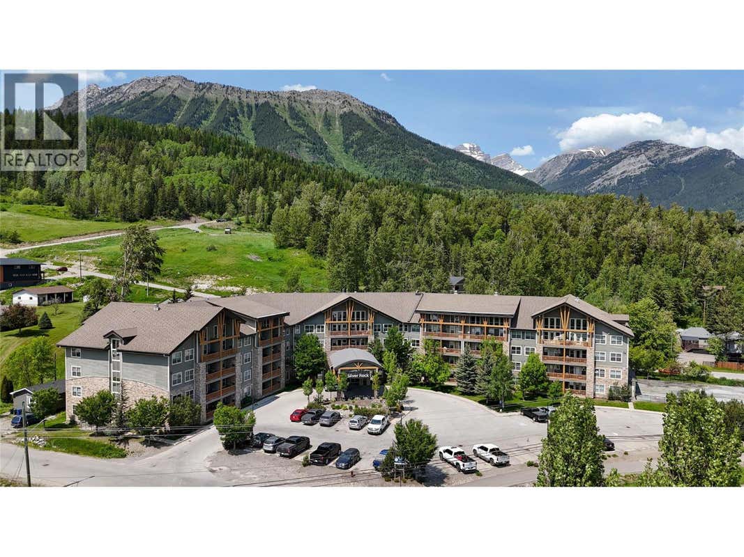
1500 MCDONALD AVENUE UNIT# 221FERNIE, BC V0B 1M1
1
1
663 SQ FT
Listing by Century 21 Mountain Lifestyles Inc.
MLS® #: 10380821
Virtual Tour
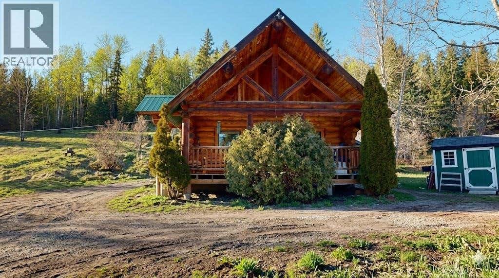
2131 HIGHWAY 3 HIGHWAYEAST KOOTENAY, BC V0B 1M5
1
1
1,098 SQ FT
Listing by Century 21 Mountain Lifestyles Inc.
MLS® #: 10372475

Get Real Estate Advice
Enter your email for REMAX's HomeHQ newsletter. Grab market updates, expert selling tips, and real estate advice.
By submitting your information, you are agreeing to the Privacy Notice and Terms of Use.
I agree to receive commercial electronic messages regarding news, updates, promotions, business opportunities and other related communications from RE/MAX*, its affiliates, and third parties designated by RE/MAX. I understand I may unsubscribe at any time.
*RE/MAX, LLC, 5075 S. Syracuse St., Denver CO, 80237 1-800-525-7452; REMAX Canada Inc., 639 Queen Street West, Toronto, ON M5V 2B7, 905-542-2400Voted the Most Trusted Agents in Real Estate*
FIND A REMAX AGENT