13
14
660.45
Monthly
No Step Entrance
West Coast
1832 Sq M
Fire Alarm, Security System, Transit Nearby
Cottonwood Close
Wood Siding
Main Level
Concrete Perimeter
Two
5
23
23
Gazebo
Number Limit
Resale
Townhouse
Residential
Asphalt
Security System
2
Skylight(s)
1999
Northwest
Balcony
1
True
Irregular Lot, Near Golf Course
0.04
0.04 Sq M
1742
Acres
True
Driveway, Garage
1
Paved
Ocean
True
R2
Rural Residential
None
Baseboard, Electric
True
Sewer Connected
Regional/improvement District
Salt Spring
Gulf Islands
Capital Regional District
V8K 2W6
Freehold/strata
$3,732
795100
Strata Lot 16, Plan Vis3729, Section 3, Range 3e, Cowichan Land District, Portion Salt Spring, Phase Iv Together with An Interest in the Common Property in Proportion to the Unit Entitlement of the Strata Lot As Shown on Form 1 Or V, As Appropriate
2025
1028772
MLS® property information is provided under copyright© by the Vancouver Island Real Estate Board and Victoria Real Estate Board. The information is from sources deemed reliable, but should not be relied upon without independent verification. https://reciprocity.vireb.com/
2
2
1,265 SQ FT
Listing by Macdonald Realty Salt Spring Island
MLS® #: 1039971
2
2
1,449 SQ FT
Listing by Macdonald Realty Salt Spring Island
MLS® #: 1043223
2
3
1,179 SQ FT
Listing by Royal Lepage Duncan Realty Salt Spring Island
MLS® #: 1034440
2
1
804 SQ FT
Listing by Pemberton Holmes - Salt Spring
MLS® #: 1033993
2
1
1,131 SQ FT
Listing by Pemberton Holmes - Salt Spring
MLS® #: 1018230
4
2
1,692 SQ FT
Listing by Pemberton Holmes Ltd. - Oak Bay
MLS® #: 1043451
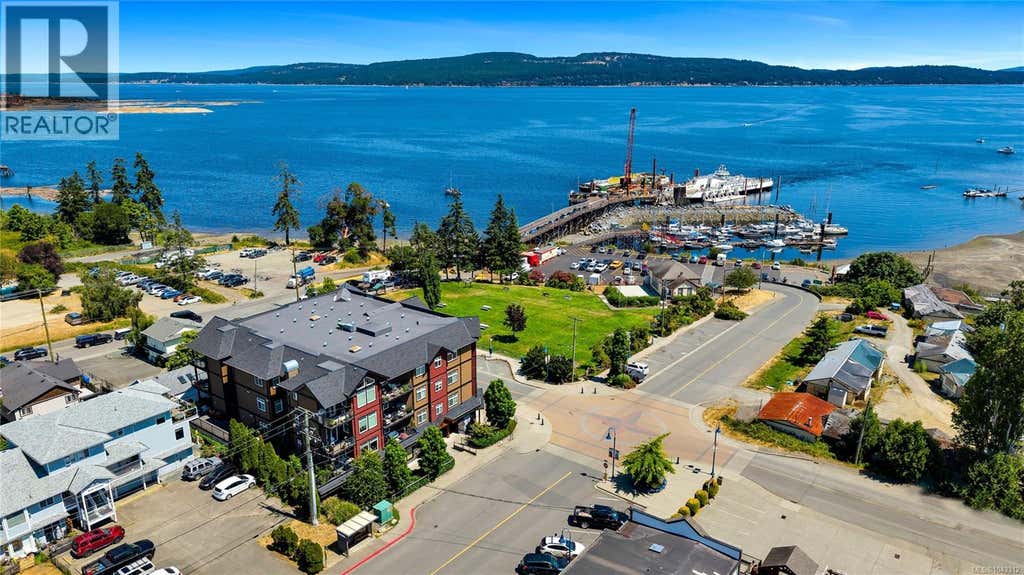
2
3
1,431 SQ FT
Listing by Pemberton Holmes Ltd. (cow Vall)
MLS® #: 1043312
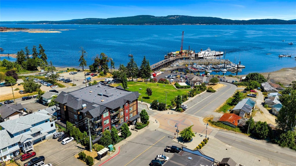
2
3
1,431 SQ FT
Listing by Pemberton Holmes Ltd. (cow Vall)
MLS® #: 1043423

Voted the Most Trusted Agents in Real Estate*
FIND A REMAX AGENT
Natural hazards vary by location and can change over time. The following provides a summary of potential impacts to this area, Postal Code V8K 2W6, over the next 30 years.
Flood - Lower Risk - Under 10% of buildings in this area have flood risk over the next 30 years.
Fire - Lower Risk - About 7 days in 2050 will have significant risk for fire spread, compared to 7 around 1990. About 72% of buildings in this area have significant chance of wildfire.
Heat - Lower Risk - Around 1990, about 7 days per year reached above 29°C in this area. In 2050, about 22 days per year are projected to reach above 29°C.
Precipitation - Higher Risk - Around 1990, total annual rainfall was about 1186mm, and about 41% of rain fell in downpours with over 25mm in 2 days in this area. The projection for 2050 is about 1240mm of rain per year, with about 45% during these downpours.
Drought - Lower Risk - This location will likely have fewer dry months around 2050 than around 1990. The typical drought conditions will be less extreme around 2050.
Climate risk data is provided for informational purposes only. REMAX does not endorse nor guarantee this information. REMAX and its agents are not providing advice regarding climate risks. Consumers should independently investigate any property's climate risks as they deem appropriate.
People who prefer a slower-paced ambience will enjoy Saltspring Island. Saltspring Island is excellent for those who need quiet surroundings, as the streets tend to be especially peaceful.
Learn more about Saltspring IslandVirtually no sources of noise nearby
Wide variety of groceries within a short drive, including some within walking distance
Excellent access to freeways and/or major arteries, with a very low chance of parking problems
At least one daycare within a short walk
At least one high school within a 15-minute walk
Virtually no sources of noise nearby
Wide variety of groceries within a short drive, including some within walking distance
Excellent access to freeways and/or major arteries, with a very low chance of parking problems
At least one daycare within a short walk
At least one high school within a 15-minute walk