21
West Coast
4162 Sq M
Wood Siding
Main Level
Concrete Perimeter
2
Aquariums, Birds, Caged Mammals, Cats Ok, Dogs Ok
Resale
Single Family Residence
Residential
Wood
1978
Southeast
Garden
1
True
Level, Private, Waterfront
0.21
0.21 Sq M
9148
Acres
Garage
2
River
True
River Front
True
RS2
Residential
Ceiling Fan(s)
True
Electric, Heat Pump
True
Septic Tank
Cooperative
Nanaimo
Nanaimo
Nanaimo Regional District
V9X 1V5
Freehold
$3,676.94
943000
Lot 3, Plan Vip7701, Section 3, Nanaimo Land District
2025
1040152
MLS® property information is provided under copyright© by the Vancouver Island Real Estate Board and Victoria Real Estate Board. The information is from sources deemed reliable, but should not be relied upon without independent verification. https://reciprocity.vireb.com/
4
3
2,471 SQ FT
Listing by Remax Professionals - Kiel Bach
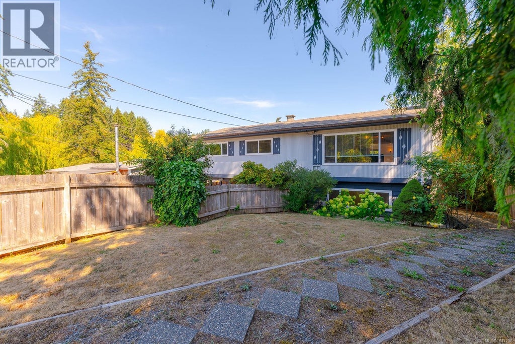
MLS® #: 1047296
3
2
2,019 SQ FT
Listing by Royal Lepage Nanaimo Realty Ld
MLS® #: 1040247
4
3
2,158 SQ FT
Listing by 2% Realty Pacific Coast Inc.
MLS® #: 1046343
3
2
1,449 SQ FT
Listing by Stonehaus Realty Corp.
MLS® #: 1046429
3
2
1,330 SQ FT
Listing by Remax Professionals - Travis Mickelson
MLS® #: 1046269
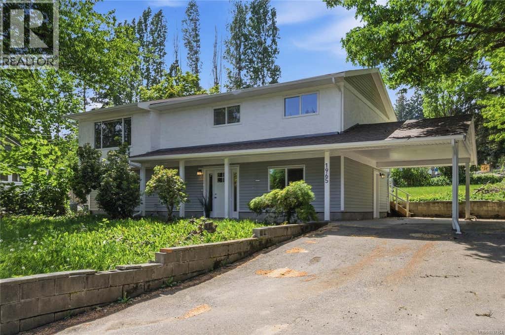
4
2
2,313 SQ FT
Listing by Remax Professionals - Sol (yesol) Park
MLS® #: 1037164
3
2
1,969 SQ FT
Listing by Remax Professionals - Brent Russell
MLS® #: 1046524
3
2
2,018 SQ FT
Listing by Royal Lepage Nanaimo Realty (nanishwyn)
MLS® #: 1043162
Voted the Most Trusted Agents in Real Estate*
FIND A REMAX AGENT
Natural hazards vary by location and can change over time. The following provides a summary of potential impacts to this area, Postal Code V9X 1V5, over the next 30 years.
Flood - Medium Risk - Under 10% of buildings in this area have flood risk over the next 30 years.
Fire - Lower Risk - About 7 days in 2050 will have significant risk for fire spread, compared to 7 around 1990. Over 90% of buildings in this area have significant chance of wildfire.
Heat - Lower Risk - Around 1990, about 7 days per year reached above 28°C in this area. In 2050, about 19 days per year are projected to reach above 28°C.
Precipitation - Higher Risk - Around 1990, total annual rainfall was about 1891mm, and about 40% of rain fell in downpours with over 36mm in 2 days in this area. The projection for 2050 is about 1968mm of rain per year, with about 44% during these downpours.
Drought - Lower Risk - This location will likely have fewer dry months around 2050 than around 1990. The typical drought conditions will be less extreme around 2050.
Climate risk data is provided for informational purposes only. REMAX does not endorse nor guarantee this information. REMAX and its agents are not providing advice regarding climate risks. Consumers should independently investigate any property's climate risks as they deem appropriate.
La tranquillité est un élément important du caractère de Cassidy-Cedar. Le district régional électoral est très silencieux, puisque le bruit lié à la circulation des véhicules est rarement un problème.
Learn more about Cassidy-CedarAccès exceptionnel à des voies rapides et/ou des artères majeures, avec un risque quasi nul de problèmes de stationnement
Pas ou très peu de sources de bruit à proximité
Au moins une garderie à quelques minutes à peine en voiture
Plusieurs épiceries à quelques minutes en voiture
Plutôt adapté pour les déplacements à vélo et/ou pour le cyclisme récréatif
Accès exceptionnel à des voies rapides et/ou des artères majeures, avec un risque quasi nul de problèmes de stationnement
Pas ou très peu de sources de bruit à proximité
Au moins une garderie à quelques minutes à peine en voiture
Plusieurs épiceries à quelques minutes en voiture
Plutôt adapté pour les déplacements à vélo et/ou pour le cyclisme récréatif