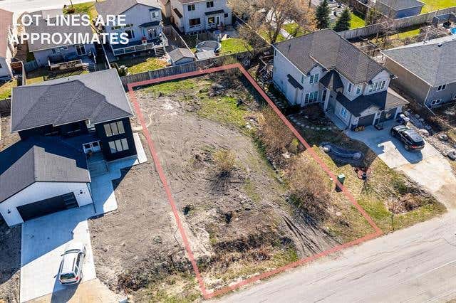
180 Bluegrass Rd, Springfield, MB R5R 0A1
Speak to your neighborhood REMAX agent to get a free home value estimate.
Property description for 180 Bluegrass Rd, Springfield, MB R5R 0A1
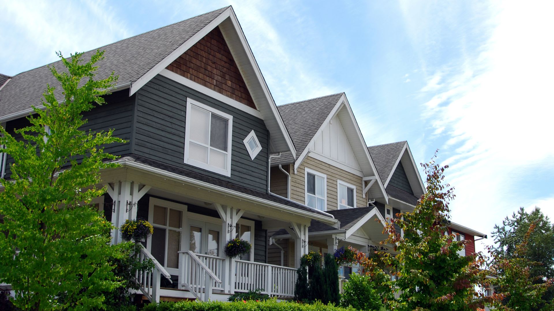
NEIGHBOURHOOD
CLIMATE RISK FOR R5R 0A1
Comparable listings to
180 Bluegrass RD, SPRINGFIELD, MB R5R 0A1

3 NORRIE LANESPRINGFIELD, MB R5R 0B8
—
—
N/A
Listing by Remax Executives Realty - Leah Antoniuk
MLS® #: 202612728
692 KNOWLES AVENUEWINNIPEG, MB R2G 2K2
—
—
N/A
Listing by Remax Executives Realty - Jasmeet (jessie) Panchhi
MLS® #: 202610407
2328 HENDERSON HIGHWAYEAST ST. PAUL, MB R2E 0B9
—
—
N/A
Listing by Remax Executives Realty - Amarjit Panchhi
MLS® #: 202612125
326 HAROLD AVENUEWINNIPEG, MB R2C 2C8
—
—
N/A
Listing by Remax Executives Realty - Greg Tino
MLS® #: 202605005
80 PHILIP LEE DRIVEWINNIPEG, MB R3W 0M5
1
1
729 SQ FT
Listing by Remax One Group - Ben Woelk
MLS® #: 202614422
1308 RAVELSTON AVENUE WWINNIPEG, MB R3W 1R3
—
—
N/A
Listing by Remax Executives Realty - Amarjit Panchhi
MLS® #: 202610585

1310 RAVELSTON AVENUE WWINNIPEG, MB R3W 1R3
—
—
N/A
Listing by Remax Executives Realty - Amarjit Panchhi
MLS® #: 202610533

Get Real Estate Advice
Enter your email for REMAX's HomeHQ newsletter. Grab market updates, expert selling tips, and real estate advice.
By submitting your information, you are agreeing to the Privacy Notice and Terms of Use.
I agree to receive commercial electronic messages regarding news, updates, promotions, business opportunities and other related communications from RE/MAX*, its affiliates, and third parties designated by RE/MAX. I understand I may unsubscribe at any time.
*RE/MAX, LLC, 5075 S. Syracuse St., Denver CO, 80237 1-800-525-7452; REMAX Canada Inc., 639 Queen Street West, Toronto, ON M5V 2B7, 905-542-2400Voted the Most Trusted Agents in Real Estate*
FIND A REMAX AGENT